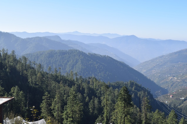
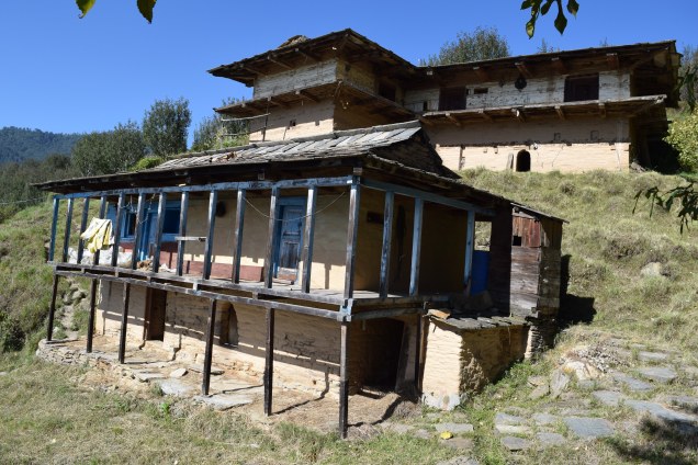
So we spent the second night at Sunil’s family home, from which we could look straight across the valley (and down a bit) at our place, three beeline kms away, but we had to descend from around 2600 m down to cross the Chugounti river at 1720 m then back up to the farm at 2000 m. The whole circuit, according to Google, is roughly 50 kms, although I have to say it seemed a lot more. The highest point is Hatu at 3400 m.
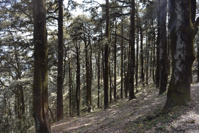
The route is quite varied – some patches of tarmac road, some good former bridleway, some extremely rough track only kept open by animals.
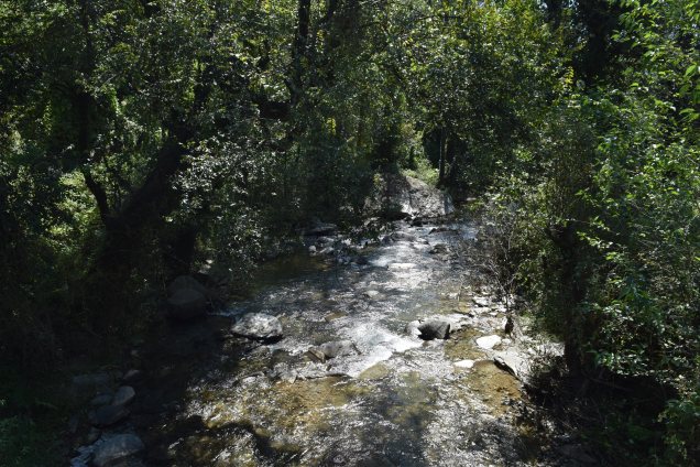
From Sunil’s place we headed off straight down the mountain through steeply terraced orchards, but a quarter of the way down were dissuaded by some locals who said it soon went straight down a cliff, difficult to follow and even they found it dangerous. So we doubled back a bit to drop down into Ramnagar at the bottom of the nullah, and followed that river down to Kaltunullah, where you can have a decent lunch for 50 rupees at Silky’s dhaba, as we did last March, 2017. We then dropped down even further through orchards on ‘paths’ 6 inches wide to the Chugounti, across the metal footbridge and back up the hillside on the other side – most of which is along a newly dug jeepable track, although it’s presently impassable on account of the cloudburst and consequent multiple landslides of a couple of weeks ago.
I would have to go along with a couple of pots of blue and white paint to mark the trail very clearly for others to follow. Bits are very steep, and some paths very narrow, but no doubt could be done by tough trail runners and/or mountain bikers, who relish such hardships. Even then, there are a few bits where mountain bikers would probably have to get off and push/carry. Camping equipment could be taken round by jeep/taxi. I’d have to lengthen it a bit to find more user-friendly tracks here and there, especially through the orchards.

From Sunil’s there is of course a motorable, runnable, bikeable road all the way down to Ramnagar, Khaltunala, and Rawlakiar – where the metal bridge crosses the Chugounti. Thence up a steep footpath for a kilometre or so, then back up to the farm by jeepable track and motorable road. All of which we did in the Gurkha in March 2017.
LikeLike
Thanks for the last bit of the report. I look forward to reading about your next trek. Any plans?
LikeLike
Another possibility for runners and bikers is to stick to the roads, making it longer, ie from the farm to Sararu Pass is 18 Kms by road, then along the ridge to Chambi, Baghi and all the way to Hatu peak would be another 30 or so. From Hatu one would have to go along the ridge path through the forest for maybe 5 Kms, then back onto roads again for another 20 or so.
LikeLike
The next trek will be in March, most likely, with Ben the Academic on the Fraser route along the Watershed of India (Indus-Ganges basins, which runs across the top of the valley, along the high Hindustan-Tibet road). Farm to Chambi spring (camp), then instead of west to Baghi, head east to Sungri and Darshan temple. Tempting to keep going to Tibet border and get a bus back to Narkanda.
LikeLike
Sarahan, not Darshan.
LikeLike